Create interactive maps

Collaborate. Organize your geo-data.
Embed maps on your website.

Explore maps

photo © Planet Labs, CC BY-SA 4.0

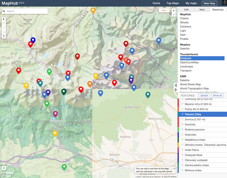
MapHub allows you to create interactive maps

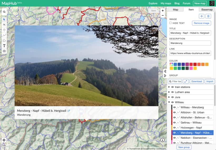
You can easily make your own map by adding points, lines, polygons, or labels.

Add photos, organize items into groups.

Import and export data in GeoJSON, Shapefile, KML, GPX, or CSV formats.

Embed interactive maps on your website.

MapHub editor

Share and collaborate

Real-time collaboration for teams, across the internet.

Control who can view and edit your map.

Enable/disable listing for search engines.

Restore previous versions up to 30 days.

collaboration

An open My Maps alternative

Basemap built on OpenStreetMap data.

Search powered by open datasets, including GeoNames, Natural Earth Data, OpenGeoCode, Quattroshapes.

No advertising. No tracking cookies. No social media buttons. 100% Google-free.

basemaps

Creating maps with MapHub is simple

Try MapHub for free

photo © NASA, CC BY-NC 2.0